
Amsterdam history at a glance
Amsterdam history starts with water. The name comes from a dam in the Amstel, which is dated at about 1260, a rough date and not a founding day. The first document with the city's name is a toll privilege of Floris V from 27 October 1275. That makes 1275 the first written mention, which is not the same as the day the city was founded.
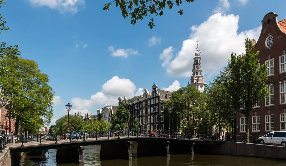
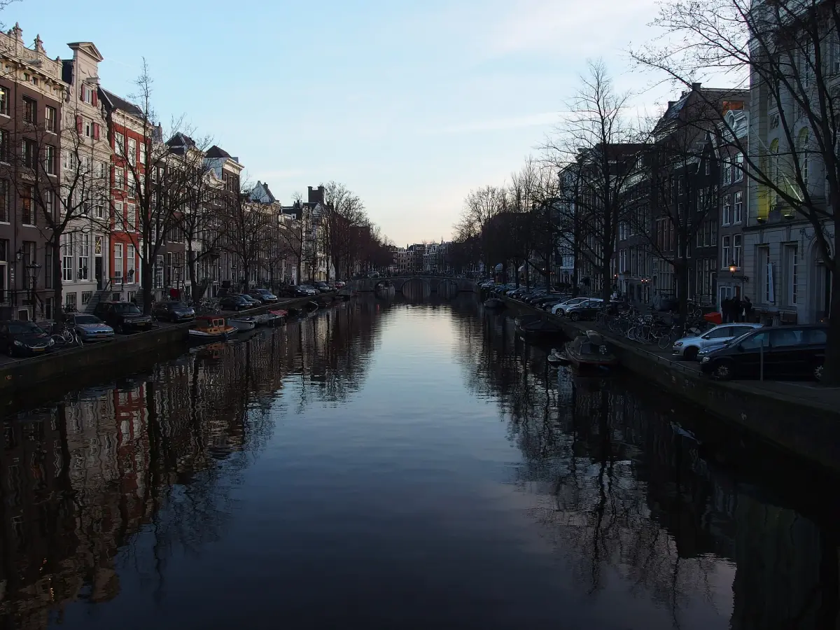
The canal ring came centuries later. It was planned from the end of the 16th century and built in the 17th, as an artificial port city. You can follow that story by boat on a canal cruise, passing the houses and warehouses of the planned districts at water level.
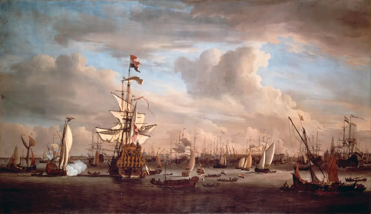
Key dates in the history of the canals
From the dam to World Heritage.
| When | What happened |
|---|---|
| About 1260 | Approximate date of the dam in the Amstel that gave the city its name |
| 1275 | Toll privilege of Floris V, the first written mention of the city's name |
| End of the 16th century | Planning of the canal ring begins |
| 1613 | Herengracht begins, the first phase between Haarlemmerdijk and Leidsegracht |
| 1614 | Prinsengracht begins |
| 1615 | Keizersgracht begins |
| After 1656 | Extension of the canal ring towards the Amstel |
| 2010 | Canal ring inscribed as a UNESCO World Heritage site |
For most visitors the most useful dates are 1613 to 1615. Walk the three main canals in that order of age and you follow the plan from the inside out.
Our pick: the Museum of the Canals
The museum on the Herengracht tells the story of how the canals were laid out.
Hand-picked tours, booked through GetYourGuide. Prices are indicative starting prices in euros (as of October 2026). Tap a tour for live availability and the current price in your currency.
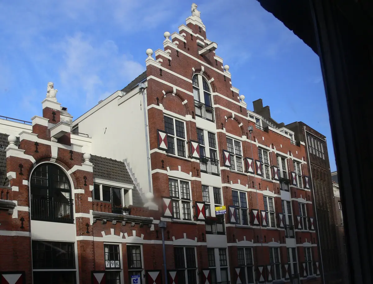
Amsterdam canal cruises and city tours
See the canal ring that grew from the 17th-century plan, with live prices and availability.
An artificial port city
The canal ring was a planned extension of the city, not a set of old waterways. It used concentric arcs of canals and radial streets, and the fortification line moved out to the Singelgracht. Land between the canals was drained and filled. The result became a model for urban planning elsewhere.
The planned project had 14 km of canals and 80 bridges. That figure describes the original plan, not the city as it is today, so do not treat it as a count of present-day canals and bridges. The bridges guide explains why the number of bridges today has no single exact figure.
The Singel is the older city moat and should not be confused with the Singelgracht. The canal ring guide shows how the three main canals and the Singel fit together.
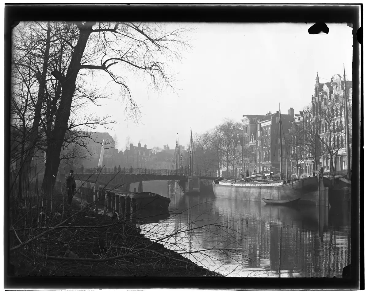
Who lived where
The canals had different jobs.
Herengracht and Keizersgracht
Planned as representative living canals. Wealthy merchants and high officials settled here, and larger residential plots were laid out. See the Herengracht page.
Prinsengracht
More warehouse types than the other two, with pointed gables. It was a working canal. See the Prinsengracht page.
Jordaan
A working-class and craft quarter outside the formal core of the canal ring, within the World Heritage buffer zone. See the Jordaan guide.
Trade and craft areas
Besides the large residential plots, the plan set aside areas for trade and craftsmen with different functions.
The Golden Age and its colonial trade
Golden Age is a historical term for the economic boom of the 17th century. The boom has to be read together with colonial trade. The capital for the large canal houses is linked to goods such as cocoa, sugar, coffee and tobacco from plantations that relied on enslaved labour. The West India Company (WIC) took part in the transatlantic slave trade.
That does not mean each house stands on one fortune from that trade, and it does not explain the wealth of every resident. A walk along the canals shows you the houses of the rich and, nearby, the districts where workers lived.
What you can still see today
The plan is still visible in the street grid and in the preserved lines of facades. Many houses from the 17th and 18th centuries have survived, though not every one is unchanged. Read how to tell the periods apart in the canal houses guide.
A good way to feel the layout is to walk one canal and cross to the next. The things to do page adds museums and neighbourhoods to the route.
Plan the rest of your visit
More guides on the canal ring.
Amsterdam history: frequently asked questions
When was Amsterdam founded?
There is no exact founding day. The dam on the Amstel dates from about 1260, and the first written mention of the city's name is a toll privilege of 27 October 1275.
Where does the name Amsterdam come from?
It comes from a dam in the Amstel.
When were the canals built?
The canal ring was planned from the end of the 16th century and built in the 17th. The first phase began in 1613 between Haarlemmerdijk and Leidsegracht, and it was extended towards the Amstel after 1656.
Which canal is the oldest of the three main canals?
The Herengracht, begun in 1613. The Prinsengracht followed in 1614 and the Keizersgracht in 1615.
How were the big canal houses paid for?
Largely through trade. This included goods from plantations that used enslaved labour, so the Golden Age cannot be told without that part of the story.
Is the whole of Amsterdam a World Heritage site?
No. The historic canal ring inside the Singelgracht was inscribed in 2010, not the whole city.