
The Amsterdam canal ring at a glance
The canal ring is the historic belt of canals inside the Singelgracht, laid out as a planned extension of a harbour city. It is the part of Amsterdam that UNESCO added to the World Heritage List in 2010. The listing covers this belt, not the whole city.
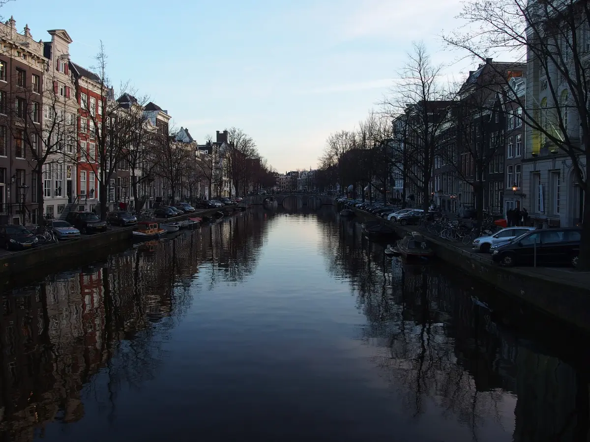
The plan was drawn up from the end of the 16th century and built in the 17th century. Canals run in concentric arcs around the old centre, and straight streets cross them like spokes. The fortification line was moved out to the Singelgracht, which made room for a whole new district of houses, warehouses and workshops.
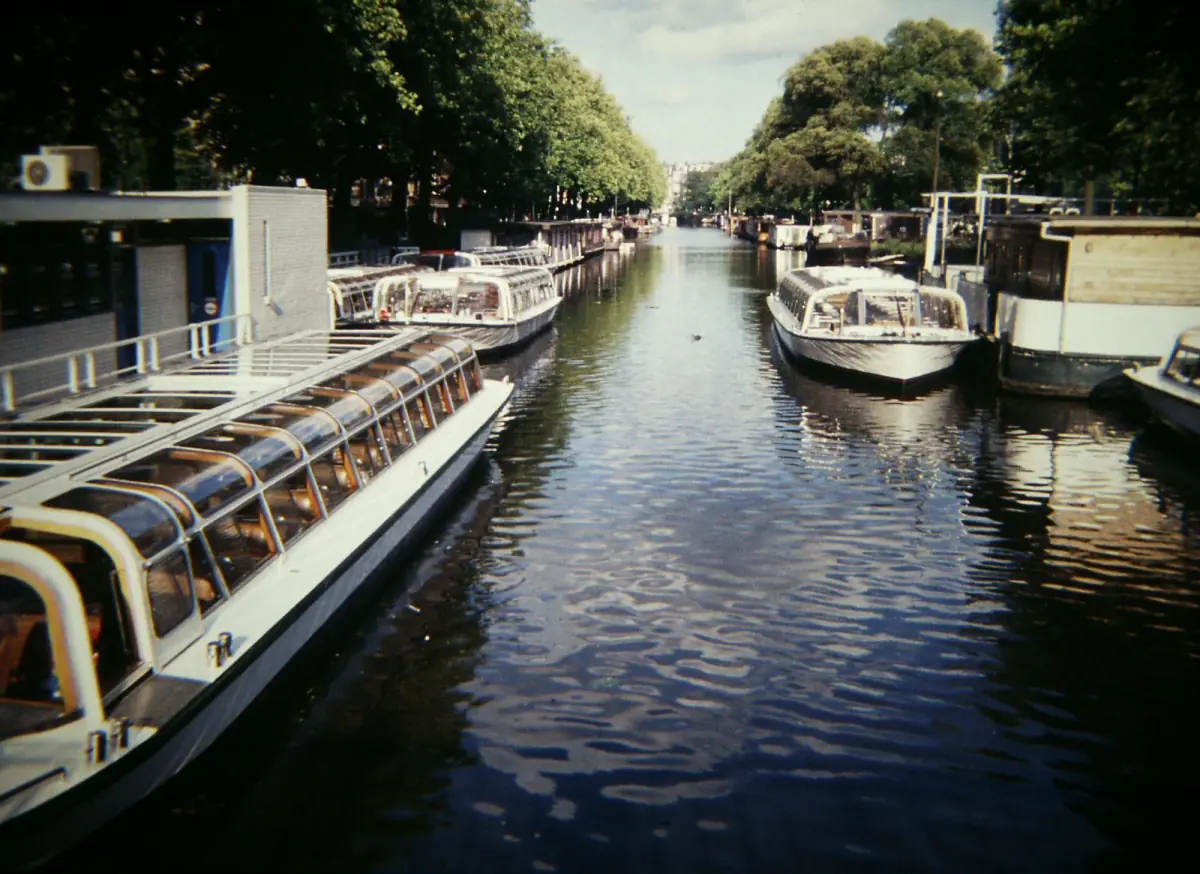
How the plan worked
One design, built in stages over decades.
Arcs and radial streets
The new canals bend around the old centre in a half circle, and the streets that cross them run roughly straight out from it. Water drained the low ground, and the land between the canals was filled and divided into plots.
The first phase
The first phase dates to 1613, between the Haarlemmerdijk and the Leidsegracht. After 1656 the ring was extended towards the Amstel. For the longer story, read the history of the canals.
Different jobs for different plots
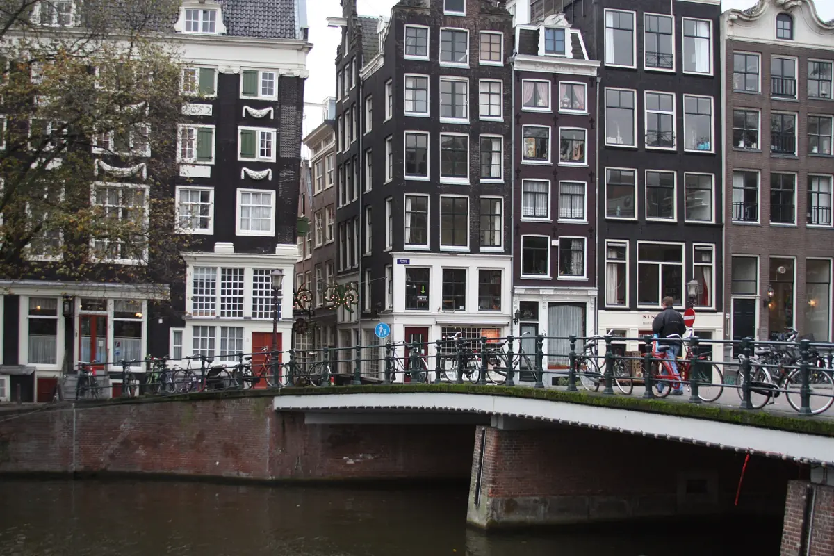
Large residential plots lay along the grand canals, while other parts of the ring were for trade and crafts. That is why the canals look different from one stretch to the next.
A size that is easy to misquote
The original expansion project covered 14 km of canals and 80 bridges. That figure belongs to the historic project. It is not a count of the canals and bridges Amsterdam has today.
Our pick: a museum on the canals
The Museum of the Canals explains how the canal ring was built, which fits a visit to this part of town.
Hand-picked tours, booked through GetYourGuide. Prices are indicative starting prices in euros (as of October 2026). Tap a tour for live availability and the current price in your currency.
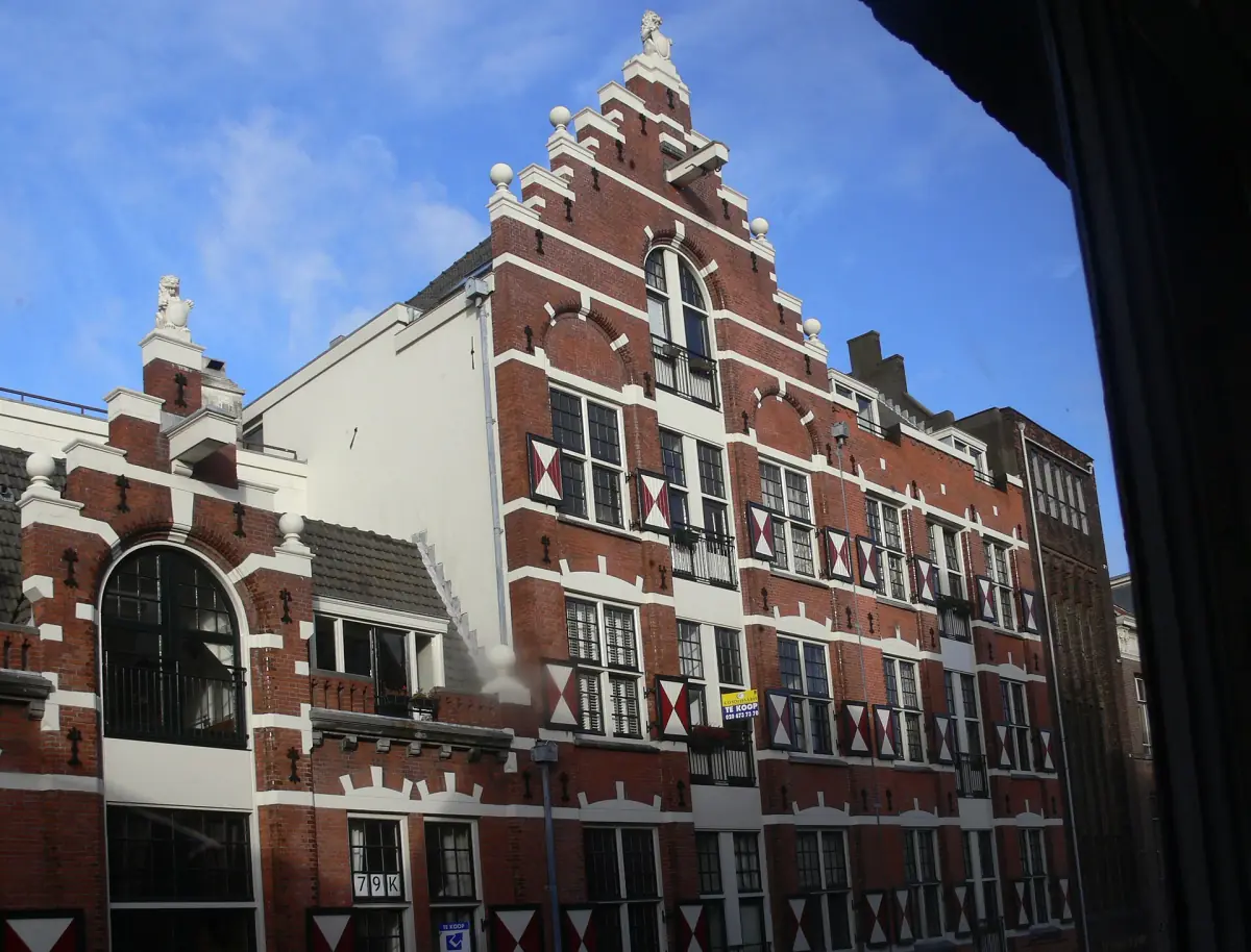
Canal ring cruises, walks and boats
Boat trips and walking tours along the canal ring, with live prices and availability.
The main canals of the ring
Three big canals carry the system, and one older canal sits inside them.
Herengracht
Work on the Herengracht began in 1613. It was planned as a grand residential canal. See the Herengracht and Keizersgracht.
Keizersgracht
The Keizersgracht followed in 1615 and, like the Herengracht, was planned for large houses.
Prinsengracht
The Prinsengracht began in 1614 and is the canal with more warehouse buildings. Read more on the Prinsengracht page.
Singel and the Nieuwe Grachten
The Singel is the older city moat and is not the same as the Singelgracht. In the wider sense, the ring also takes in the Singel and the new canals east of the Amstel.

What UNESCO protects
Core area, buffer zone and the reasons for the listing.
The listing meets criteria i, ii and iv. The ring keeps preserved rows of historic facades and many houses from the 17th and 18th centuries. Not every house you see is unchanged, and not every waterway in Amsterdam lies in the core area.
The Jordaan, a former district of workers and craftspeople, lies outside the core area but inside the buffer zone. So do not treat the Jordaan and the canal ring as one and the same.
The ring is a living part of the city. Museums, churches and boat trips inside it have their own times and prices, and the streets are free to walk. For the buildings themselves, see canal houses and bridges.
How to see the canal ring
Three ways, with 2026 prices where they exist.
| Way to see it | Time | Price 2026 | Good for |
|---|---|---|---|
| Walk the canals | As long as you like | No ticket | Details of facades, bridges and side streets |
| Day cruise | 75 minutes | From €18.50 | An overview of several canals from the water |
| Evening cruise | 90 minutes | From €20.80 | Lit houses and bridges after dark |
| Self-drive electric boat for up to 6 people | 2 or 3 hours | €79 for 2 hours (€69 in the morning), €99 for 3 hours (€89 in the morning) | Groups who want their own pace |
The city adds an entertainment tax of €2.70 per passenger on motorised boat trips, which some offers show separately. The boat rental example includes VAT, a briefing, a map, life jackets and power, and the tax comes on top. For most first-time visitors, a day cruise followed by a walk along one canal gives a good picture of the ring. Details are on the canal cruise page and the boat rental page.
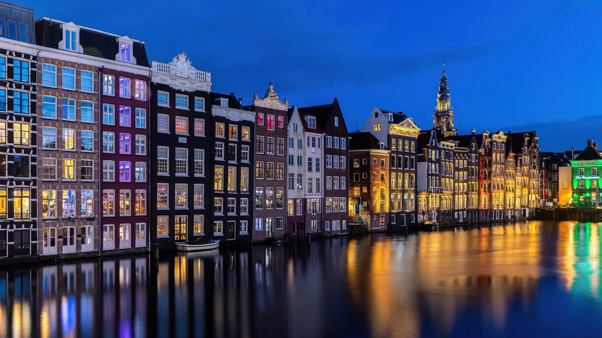
Keep exploring
One page for each part of the ring.
Amsterdam canal ring: frequently asked questions
What is the canal ring in Amsterdam?
It is the planned belt of 17th-century canals around the old centre, inside the Singelgracht. The three main canals are the Herengracht, the Keizersgracht and the Prinsengracht.
When did the canal ring become a World Heritage Site?
UNESCO listed it in 2010. The core area is 198.2 ha and the buffer zone is 481.7 ha.
Is the whole of Amsterdam part of the heritage site?
No. The listing covers the historic canal belt inside the Singelgracht. Other canals and districts, including the Jordaan, lie in the buffer zone or outside it.
Is there an entrance fee for the canal ring?
You walk the streets along the canals without a ticket. Museums, churches and boat trips each have their own opening times and prices, so check them before you go.
Can I swim in the canals?
Swimming is forbidden in the fairway and near bridges, locks and waiting places, and boat traffic and hidden objects make it risky. If you want to swim, use an official swimming spot instead.
What is the difference between the Singel and the Singelgracht?
The Singel is an older city moat inside the ring. The Singelgracht is the outer canal where the fortification line was moved when the ring was built.